Any place.
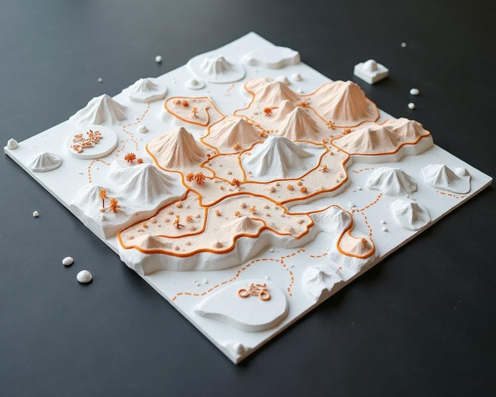
Pure terrain.
Pick a city block, a mountain range, or a stretch of coastline. We generate a high-detail 3D terrain model from real elevation data — no route overlay, no stats. Just the landscape, in relief.

From search to 3D model in minutes.
Find your spot
Search for a city, address, or landmark. Drop a pin anywhere in the world.
Frame the area
Drag to adjust. Choose square, circle, or hexagon framing.
Preview in 3D
See the terrain model before you commit. Rotate, zoom, inspect.
Confirm and order
Review the terrain, choose your size, and place the order for a made-to-order physical print.
Preview before ordering
Use the editor to validate the terrain, framing, and scale before you check out.
Physical print
We 3D-print the model and ship it to you. Pricing depends on size and is shown at checkout.
For places that matter even when there was no recorded activity.
City terrain maps work well for home neighborhoods, wedding venues, alpine towns, beaches, ski resorts, and travel memories where the landscape is the point. They also make good architectural or gifting pieces when you want topography without an activity trace on top.
If you want a route overlay with distance, date, and activity stats, use the Strava activity map flow. If you want a clean terrain study of any place, jump straight into the 3D editor.
Design projects
Study a block, shoreline, or ridgeline in relief before printing or presenting it.
Travel keepsakes
Turn a place you love into a physical object that feels more permanent than a photo.
Giftable landscapes
Useful when the place matters more than a personal route or race result.
Terrain-first printing
A straightforward path for terrain-first physical prints without the Strava setup.
Choose the Right Format
When you are ready, use the editor to frame the terrain and place the order. Need more detail first? Review how it works, check the FAQ, or confirm fulfillment details on shipping and returns.
Pick a place. See it in 3D.
The editor is free to use. You only pay when you place an order.
Looking for Strava activity maps? Start here